Río Uriangato topographic map
Interactive map
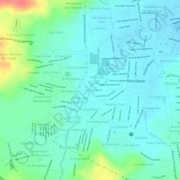
Click on the map to display elevation.
About this map
Name: Río Uriangato topographic map, elevation, terrain.
Average elevation: 5,991 ft
Minimum elevation: 5,935 ft
Maximum elevation: 6,165 ft

Click on the map to display elevation.
Name: Río Uriangato topographic map, elevation, terrain.
Average elevation: 5,991 ft
Minimum elevation: 5,935 ft
Maximum elevation: 6,165 ft