
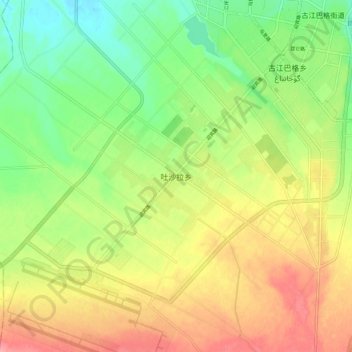
吐沙拉乡 topographic map
Interactive map
Click on the map to display elevation.
About this map
Name: 吐沙拉乡 topographic map, elevation, terrain.
Location: 吐沙拉乡, 和田市 Hotan خوتەن شەھىرى, 和田地区, Xinjiang, China (37.02466 79.85096 37.10466 79.93096)
Average elevation: 4,616 ft
Minimum elevation: 4,482 ft
Maximum elevation: 4,764 ft