
Boling topographic map
Interactive map
Click on the map to display elevation.
About this map
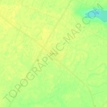
Name: Boling topographic map, elevation, terrain.
Location: Boling, Wharton County, Texas, 77420, United States (29.24249 -95.95980 29.28249 -95.91980)
Average elevation: 79 ft
Minimum elevation: 33 ft
Maximum elevation: 92 ft
Other topographic maps
Click on a map to view its topography, its elevation and its terrain.
El Campo
United States > Texas > Wharton County
El Campo, Wharton County, Texas, 77437, United States
Average elevation: 112 ft
East Bernard
United States > Texas > Wharton County > East Bernard
East Bernard, Wharton County, Texas, United States
Average elevation: 125 ft
Pierce
United States > Texas > Wharton County > Pierce
Pierce, Wharton County, Texas, 77467, United States
Average elevation: 105 ft