
Vleteren topographic map
Interactive map
Click on the map to display elevation.
About this map
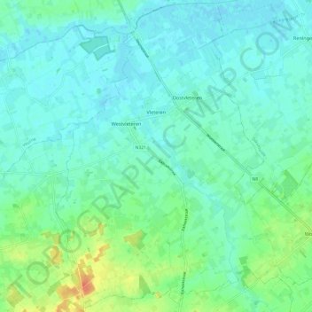
Name: Vleteren topographic map, elevation, terrain.
Location: Vleteren, Ieper, West Flanders, Flanders, 8640, Belgium (50.88222 2.69002 50.95671 2.81053)
Average elevation: 30 ft
Minimum elevation: -3 ft
Maximum elevation: 121 ft