
社后村 topographic map
Interactive map
Click on the map to display elevation.
About this map
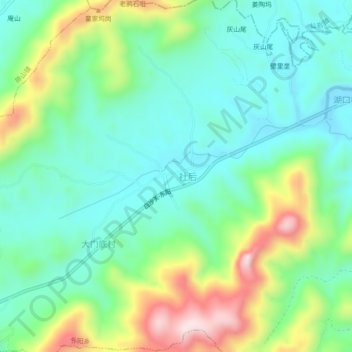
Name: 社后村 topographic map, elevation, terrain.
Location: 社后村, 东阳乡, 广丰区, 上饶市, 江西省, 中国 (28.46416 118.34478 28.50416 118.38478)
Average elevation: 945 ft
Minimum elevation: 564 ft
Maximum elevation: 1,814 ft