
Vadhana District topographic map
Interactive map
Click on the map to display elevation.
About this map
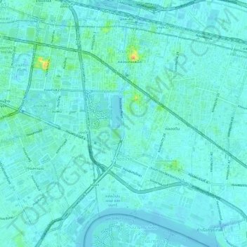
Name: Vadhana District topographic map, elevation, terrain.
Location: Vadhana District, Bangkok, 10110, Thailand (13.70470 100.55011 13.74851 100.60685)
Average elevation: 23 ft
Minimum elevation: -7 ft
Maximum elevation: 154 ft
Other topographic maps
Click on a map to view its topography, its elevation and its terrain.
Khlong Tan Subdistrict
Khlong Tan Subdistrict, Khlong Toei District, Bangkok, Thailand
Average elevation: 23 ft