
Orbec topographic map
Interactive map
Click on the map to display elevation.
About this map
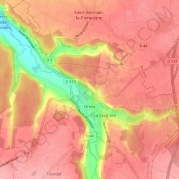
Name: Orbec topographic map, elevation, terrain.
Average elevation: 548 ft
Minimum elevation: 295 ft
Maximum elevation: 650 ft
Other topographic maps
Click on a map to view its topography, its elevation and its terrain.
Baron-sur-Odon
França > Normandia > Calvados > Baron-sur-Odon
Baron-sur-Odon, Caen, Calvados, Normandia, França metropolitana, 14210, França
Average elevation: 266 ft