
Shivpuri topographic map
Interactive map
Click on the map to display elevation.
About this map
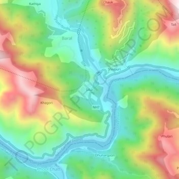
Name: Shivpuri topographic map, elevation, terrain.
Location: Shivpuri, Pauri Garhwal, Uttarakhand, India (30.11348 78.36579 30.15348 78.40579)
Average elevation: 2,136 ft
Minimum elevation: 1,161 ft
Maximum elevation: 3,806 ft