Geolocate

Lakeside topographic map

Click on the map to display elevation.

About this map

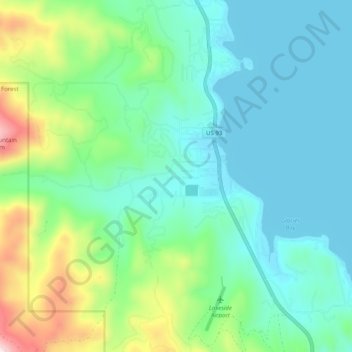
Name: Lakeside topographic map, elevation, terrain.

Location: Lakeside, Flathead County, Montana, 59922, United States (47.98336 -114.25572 48.05011 -114.18376)

Average elevation: 3,392 ft

Minimum elevation: 2,884 ft

Maximum elevation: 5,059 ft

Flathead County trails, hiking, mountain biking, running and outdoor activities

Gear up for your next adventure:

🧯Portable Fire Pit - Compact fire pit for camping spots
📶Satellite Messenger - Communication device off‑grid
🏕️Family Camping Gear - Essentials for group camping trips
🎁Geography Themed Gifts - Unique gift ideas for map lovers and geography enthusiasts
💧Water Purification System - Clean water on the trail with reliable purifiers

As an Amazon Associate, this site earns from qualifying purchases at no extra cost to you.