
梧桐镇 topographic map
Interactive map
Click on the map to display elevation.
About this map
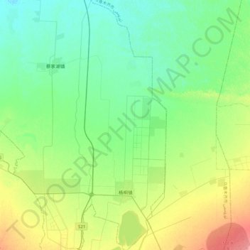
Name: 梧桐镇 topographic map, elevation, terrain.
Location: 梧桐镇, 五家渠市, 新疆维吾尔自治区, 中国 (44.19516 87.56666 44.47998 87.71312)
Average elevation: 1,486 ft
Minimum elevation: 1,421 ft
Maximum elevation: 1,644 ft