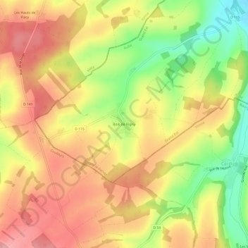
Bois de Rigny topographic map
Interactive map
Click on the map to display elevation.
About this map
Name: Bois de Rigny topographic map, elevation, terrain.
Average elevation: 630 ft
Minimum elevation: 394 ft
Maximum elevation: 797 ft

Click on the map to display elevation.
Name: Bois de Rigny topographic map, elevation, terrain.
Average elevation: 630 ft
Minimum elevation: 394 ft
Maximum elevation: 797 ft