
Kagugu topographic map
Interactive map
Click on the map to display elevation.
About this map
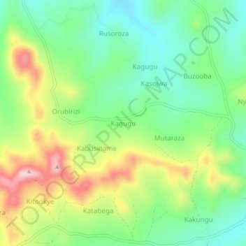
Name: Kagugu topographic map, elevation, terrain.
Location: Kagugu, Ntungamo, Western Region, Uganda (-0.97927 30.14311 -0.93927 30.18311)
Average elevation: 4,970 ft
Minimum elevation: 4,623 ft
Maximum elevation: 5,545 ft
Other topographic maps
Click on a map to view its topography, its elevation and its terrain.