
Loda topographic map
Interactive map
Click on the map to display elevation.
About this map
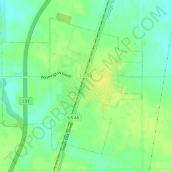
Name: Loda topographic map, elevation, terrain.
Location: Loda, Iroquois County, Illinois, United States (40.50511 -88.08937 40.52654 -88.06037)
Average elevation: 771 ft
Minimum elevation: 738 ft
Maximum elevation: 797 ft
Other topographic maps
Click on a map to view its topography, its elevation and its terrain.
Gilman
United States > Illinois > Iroquois County
Gilman, Iroquois County, Illinois, United States
Average elevation: 653 ft
Buckley
United States > Illinois > Iroquois County
Buckley, Iroquois County, Illinois, United States
Average elevation: 696 ft