
Moorsel topographic map
Interactive map
Click on the map to display elevation.
About this map
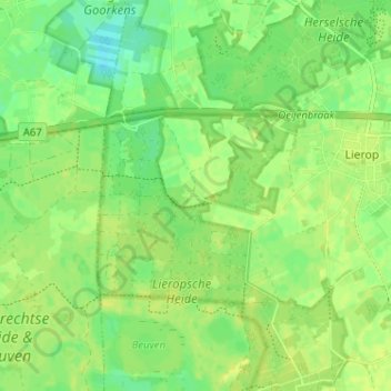
Name: Moorsel topographic map, elevation, terrain.
Location: Moorsel, Nordbrabant, Niederlande, 5715, Niederlande (51.39517 5.63382 51.43517 5.67382)
Average elevation: 75 ft
Minimum elevation: 43 ft
Maximum elevation: 95 ft