
Altfeld topographic map
Interactive map
Click on the map to display elevation.
About this map
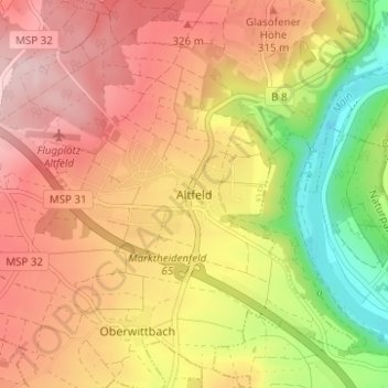
Name: Altfeld topographic map, elevation, terrain.
Average elevation: 889 ft
Minimum elevation: 436 ft
Maximum elevation: 1,224 ft
Other topographic maps
Click on a map to view its topography, its elevation and its terrain.
Mainberg
Duitsland > Beieren > Landkreis Main-Spessart > Marktheidenfeld
Mainberg, Marktheidenfeld, Landkreis Main-Spessart, Beieren, 97828, Duitsland
Average elevation: 719 ft