
Çatalköy topographic map
Interactive map
Click on the map to display elevation.
About this map
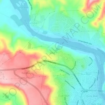
Name: Çatalköy topographic map, elevation, terrain.
Location: Çatalköy, Cizre, Şırnak, Güneydoğu Anadolu Bölgesi, Turquie (37.32719 42.15009 37.36719 42.19009)
Average elevation: 1,470 ft
Minimum elevation: 1,194 ft
Maximum elevation: 1,982 ft