
Föritztal topographic map
Interactive map
Click on the map to display elevation.
About this map
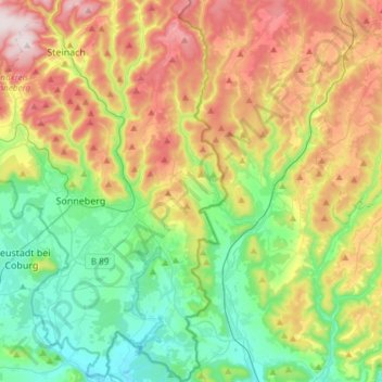
Name: Föritztal topographic map, elevation, terrain.
Location: Föritztal, Landkreis Sonneberg, Thüringen, 96524, Deutschland (50.26677 11.13050 50.45779 11.28414)
Average elevation: 1,644 ft
Minimum elevation: 991 ft
Maximum elevation: 2,746 ft