
Panier topographic map
Interactive map
Click on the map to display elevation.
About this map
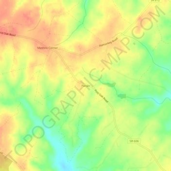
Name: Panier topographic map, elevation, terrain.
Location: Panier, Spotsylvania County, Virginie, États-Unis d'Amérique (38.16097 -77.78360 38.20097 -77.74360)
Average elevation: 374 ft
Minimum elevation: 272 ft
Maximum elevation: 446 ft