
El Aguacate topographic map
Interactive map
Click on the map to display elevation.
About this map
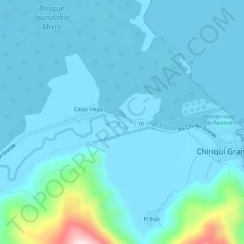
Name: El Aguacate topographic map, elevation, terrain.
Location: El Aguacate, Distrito Chiriquí Grande, Bocas del Toro, Panamá (8.93303 -82.15523 8.97303 -82.11523)
Average elevation: 135 ft
Minimum elevation: -3 ft
Maximum elevation: 1,325 ft