
Jaidwar Talla topographic map
Interactive map
Click on the map to display elevation.
About this map
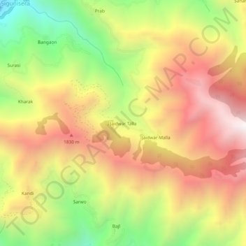
Name: Jaidwar Talla topographic map, elevation, terrain.
Location: Jaidwar Talla, Dhanaulti, Tehri Garhwal, Uttarakhand, India (30.52221 78.00468 30.56221 78.04468)
Average elevation: 4,902 ft
Minimum elevation: 2,490 ft
Maximum elevation: 7,014 ft