
Gandhigram(B.C Colony) topographic map
Interactive map
Click on the map to display elevation.
About this map
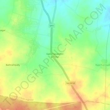
Name: Gandhigram(B.C Colony) topographic map, elevation, terrain.
Average elevation: 1,634 ft
Minimum elevation: 1,562 ft
Maximum elevation: 1,703 ft