
Aïn Tindamine topographic map
Interactive map
Click on the map to display elevation.
About this map
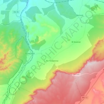
Name: Aïn Tindamine topographic map, elevation, terrain.
Location: Aïn Tindamine, Daïra Moulay Slissen, Sidi Bel Abbès, Algérie (34.63794 -0.78373 34.76576 -0.59014)
Average elevation: 3,504 ft
Minimum elevation: 2,762 ft
Maximum elevation: 4,800 ft