
York River topographic map
Interactive map
Click on the map to display elevation.
About this map
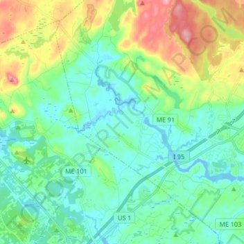
Name: York River topographic map, elevation, terrain.
Location: York River, York, York County, Maine, 03911, United States (43.12783 -70.77279 43.18803 -70.64281)
Average elevation: 102 ft
Minimum elevation: -16 ft
Maximum elevation: 361 ft