
Town of Tonawanda topographic map
Interactive map
Click on the map to display elevation.
About this map
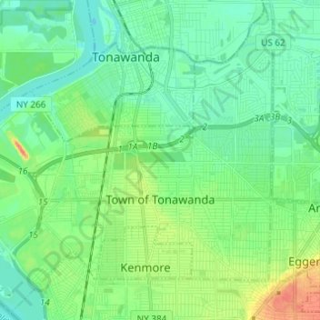
Name: Town of Tonawanda topographic map, elevation, terrain.
Location: Town of Tonawanda, Erie County, New York, United States (42.94914 -78.94415 43.03461 -78.82214)
Average elevation: 600 ft
Minimum elevation: 554 ft
Maximum elevation: 715 ft