
岱庙街道 topographic map
Interactive map
Click on the map to display elevation.
About this map
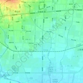
Name: 岱庙街道 topographic map, elevation, terrain.
Location: 岱庙街道, 泰山区, 泰安市, 山东省, 271000, 中国 (36.15655 117.11761 36.19874 117.15398)
Average elevation: 443 ft
Minimum elevation: 410 ft
Maximum elevation: 545 ft