
Macanna topographic map
Interactive map
Click on the map to display elevation.
About this map
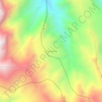
Name: Macanna topographic map, elevation, terrain.
Location: Macanna, Nord-Gonder, Amhara, Äthiopien (13.27422 38.34005 13.31422 38.38005)
Average elevation: 11,345 ft
Minimum elevation: 9,252 ft
Maximum elevation: 13,510 ft