
Lock topographic map
Click on the map to display elevation.
About this map
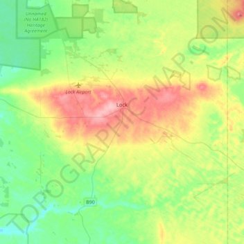
Name: Lock topographic map, elevation, terrain.
Average elevation: 312 ft
Minimum elevation: 180 ft
Maximum elevation: 541 ft
Other topographic maps
Click on a map to view its topography, its elevation and its terrain.
Cape Finnis
Australia > South Australia > District Council of Elliston > Elliston
Average elevation: 16 ft
Cape Finnis
Australia > South Australia > District Council of Elliston > Elliston
Average elevation: 16 ft