
Sungai Sayong topographic map
Interactive map
Click on the map to display elevation.
About this map
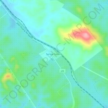
Name: Sungai Sayong topographic map, elevation, terrain.
Location: Sungai Sayong, Kluang, Johor, 86300, Malaysia (1.90256 103.35299 1.94256 103.39299)
Average elevation: 233 ft
Minimum elevation: 131 ft
Maximum elevation: 581 ft