
Stadt Feldkirch topographic map
Interactive map
Click on the map to display elevation.
About this map
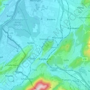
Name: Stadt Feldkirch topographic map, elevation, terrain.
Location: Stadt Feldkirch, Bezirk Feldkirch, Vorarlberg, Austria (47.20457 9.53075 47.30019 9.63226)
Average elevation: 1,673 ft
Minimum elevation: 1,378 ft
Maximum elevation: 4,488 ft