
Kampung Pasir Pandak topographic map
Interactive map
Click on the map to display elevation.
About this map
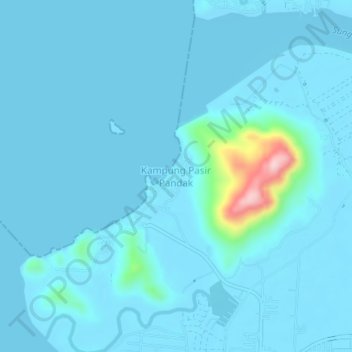
Name: Kampung Pasir Pandak topographic map, elevation, terrain.
Location: Kampung Pasir Pandak, Kuching Division, Sarawak, Malaysia (1.67818 110.29229 1.71818 110.33229)
Average elevation: 52 ft
Minimum elevation: -10 ft
Maximum elevation: 791 ft