
Monroe Township topographic map
Interactive map
Click on the map to display elevation.
About this map
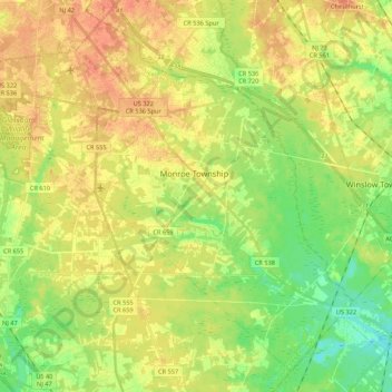
Name: Monroe Township topographic map, elevation, terrain.
Average elevation: 121 ft
Minimum elevation: 52 ft
Maximum elevation: 177 ft
Other topographic maps
Click on a map to view its topography, its elevation and its terrain.
Monroe Township
United States > New Jersey > Gloucester County > Monroe Township
Monroe Township, Gloucester County, New Jersey, 08094, United States
Average elevation: 125 ft