
红石 topographic map
Interactive map
Click on the map to display elevation.
About this map
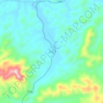
Name: 红石 topographic map, elevation, terrain.
Location: 红石, 容县, 玉林市, 广西壮族自治区, 543000, 中国 (22.65295 110.62412 22.69295 110.66412)
Average elevation: 581 ft
Minimum elevation: 328 ft
Maximum elevation: 1,388 ft