
Saint-Jean-et-Saint-Paul topographic map
Interactive map
Click on the map to display elevation.
About this map
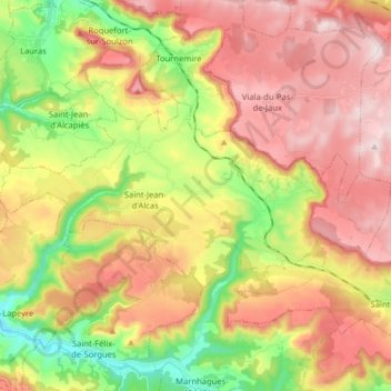
Name: Saint-Jean-et-Saint-Paul topographic map, elevation, terrain.
Average elevation: 2,077 ft
Minimum elevation: 1,220 ft
Maximum elevation: 2,881 ft