
Chichimilá topographic map
Interactive map
Click on the map to display elevation.
About this map
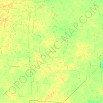
Name: Chichimilá topographic map, elevation, terrain.
Location: Chichimilá, Yucatán, México (20.28137 -88.27186 20.65149 -88.06493)
Average elevation: 75 ft
Minimum elevation: 36 ft
Maximum elevation: 105 ft