
Groom topographic map
Interactive map
Click on the map to display elevation.
About this map
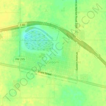
Name: Groom topographic map, elevation, terrain.
Location: Groom, Carson County, Texas, United States (35.19820 -101.11726 35.21370 -101.09200)
Average elevation: 3,271 ft
Minimum elevation: 3,225 ft
Maximum elevation: 3,294 ft