
Hungry Hill topographic map
Interactive map
Click on the map to display elevation.
About this map
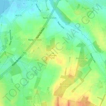
Name: Hungry Hill topographic map, elevation, terrain.
Average elevation: 131 ft
Minimum elevation: 75 ft
Maximum elevation: 207 ft
Other topographic maps
Click on a map to view its topography, its elevation and its terrain.
Tunnel Hill
United Kingdom > England > Guildford
Tunnel Hill, Guildford, Surrey, South East, England, GU24 0BD, United Kingdom
Average elevation: 285 ft