
Kanonji topographic map
Interactive map
Click on the map to display elevation.
About this map
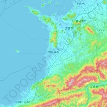
Name: Kanonji topographic map, elevation, terrain.
Location: Kanonji, Prefectura de Kagawa, 768-0002, Japón (34.01229 133.35743 34.23371 133.74045)
Average elevation: 400 ft
Minimum elevation: -7 ft
Maximum elevation: 2,999 ft