
A Gudiña topographic map
Interactive map
Click on the map to display elevation.
About this map
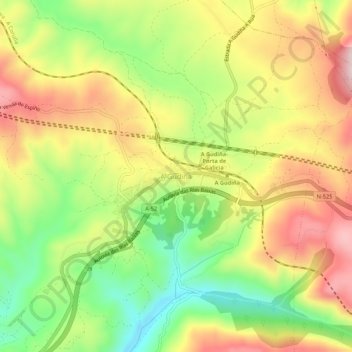
Name: A Gudiña topographic map, elevation, terrain.
Location: A Gudiña, Viana, Orense, Galicia, 32540, España (42.04055 -7.16035 42.08055 -7.12035)
Average elevation: 3,156 ft
Minimum elevation: 2,621 ft
Maximum elevation: 3,698 ft