
Hervás topographic map
Interactive map
Click on the map to display elevation.
About this map
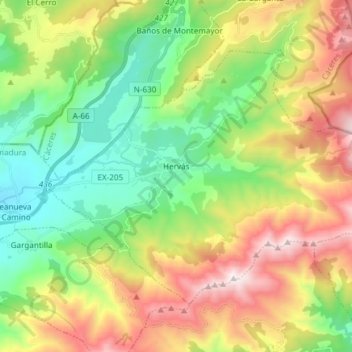
Name: Hervás topographic map, elevation, terrain.
Location: Hervás, Valle del Ambroz, Cáceres, Estrémadure, 10700, Espagne (40.22895 -5.91293 40.31193 -5.76343)
Average elevation: 3,337 ft
Minimum elevation: 1,634 ft
Maximum elevation: 6,050 ft