
郭亮 topographic map
Interactive map
Click on the map to display elevation.
About this map
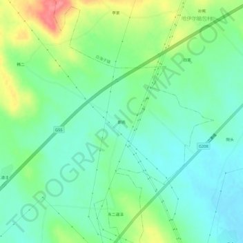
Name: 郭亮 topographic map, elevation, terrain.
Location: 郭亮, 马莲渠乡, 集宁区, 乌兰察布市, 内蒙古自治区, 中国 (41.10643 113.16453 41.14643 113.20453)
Average elevation: 4,567 ft
Minimum elevation: 4,482 ft
Maximum elevation: 4,751 ft