
Buchenwald topographic map
Interactive map
Click on the map to display elevation.
About this map
Name: Buchenwald topographic map, elevation, terrain.
Average elevation: 79 ft
Minimum elevation: -7 ft
Maximum elevation: 174 ft
Other topographic maps
Click on a map to view its topography, its elevation and its terrain.
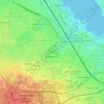
Rostock
Duitsland > Mecklenburg-Voor-Pommeren > Rostock
Rostock, Mecklenburg-Voor-Pommeren, 18057, Duitsland
Average elevation: 75 ft