
Ramapo topographic map
Interactive map
Click on the map to display elevation.
About this map
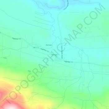
Name: Ramapo topographic map, elevation, terrain.
Location: Ramapo, Clallam County, Washington, États-Unis d'Amérique (48.10210 -123.70223 48.14210 -123.66223)
Average elevation: 420 ft
Minimum elevation: 56 ft
Maximum elevation: 1,667 ft