
Schloss Benrath topographic map
Interactive map
Click on the map to display elevation.
About this map
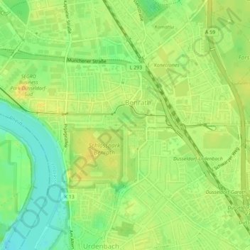
Name: Schloss Benrath topographic map, elevation, terrain.
Average elevation: 144 ft
Minimum elevation: 95 ft
Maximum elevation: 174 ft
Other topographic maps
Click on a map to view its topography, its elevation and its terrain.
Garath
Deutschland > Nordrhein-Westfalen > Düsseldorf > Benrath
Garath, Stadtbezirk 10, Düsseldorf, Nordrhein-Westfalen, 40595, Deutschland
Average elevation: 144 ft