
Portland topographic map
Interactive map
Click on the map to display elevation.
About this map
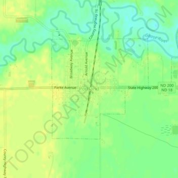
Name: Portland topographic map, elevation, terrain.
Location: Portland, Traill County, North Dakota, 58274, United States (47.49062 -97.37876 47.50590 -97.35701)
Average elevation: 984 ft
Minimum elevation: 945 ft
Maximum elevation: 1,007 ft
Other topographic maps
Click on a map to view its topography, its elevation and its terrain.
Hillsboro
United States > North Dakota > Traill County
Hillsboro, Traill County, North Dakota, United States
Average elevation: 906 ft
Hatton
United States > North Dakota > Traill County
Hatton, Traill County, North Dakota, United States
Average elevation: 1,079 ft
Mayville
United States > North Dakota > Traill County
Mayville, Traill County, North Dakota, 58257, United States
Average elevation: 971 ft