
Argigno topographic map
Interactive map
Click on the map to display elevation.
About this map
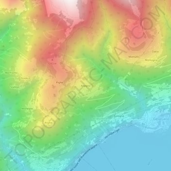
Name: Argigno topographic map, elevation, terrain.
Location: Argigno, Trezzone, Como, Lombardei, 22010, Italien (46.15886 9.32627 46.19886 9.36627)
Average elevation: 2,411 ft
Minimum elevation: 646 ft
Maximum elevation: 5,092 ft