
City of Decherd Babe Ruth Ball Park topographic map
Interactive map
Click on the map to display elevation.
About this map
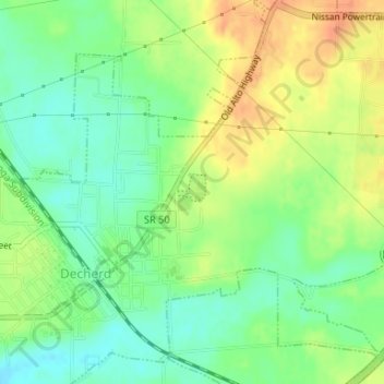
Name: City of Decherd Babe Ruth Ball Park topographic map, elevation, terrain.
Average elevation: 984 ft
Minimum elevation: 922 ft
Maximum elevation: 1,060 ft