
Arredondo topographic map
Interactive map
Click on the map to display elevation.
About this map
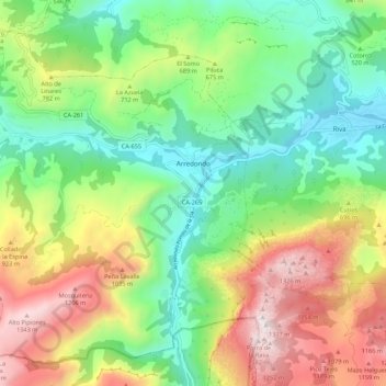
Name: Arredondo topographic map, elevation, terrain.
Location: Arredondo, Asón-Agüera, Cantabria, Cantabrie, Espagne (43.23337 -3.68876 43.30327 -3.57990)
Average elevation: 1,978 ft
Minimum elevation: 397 ft
Maximum elevation: 4,573 ft
Other topographic maps
Click on a map to view its topography, its elevation and its terrain.