
Choquecota topographic map
Interactive map
Click on the map to display elevation.
About this map
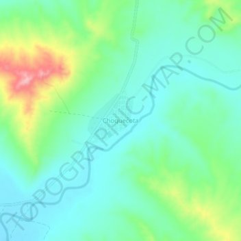
Name: Choquecota topographic map, elevation, terrain.
Location: Choquecota, Provincia Carangas, Oruro, Bolivia (-18.11790 -67.91546 -18.07790 -67.87546)
Average elevation: 12,769 ft
Minimum elevation: 12,621 ft
Maximum elevation: 13,166 ft