Alós d'Isil topographic map
Interactive map
Click on the map to display elevation.
About this map
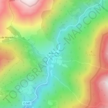
Name: Alós d'Isil topographic map, elevation, terrain.
Average elevation: 5,092 ft
Minimum elevation: 3,960 ft
Maximum elevation: 6,699 ft

Click on the map to display elevation.
Name: Alós d'Isil topographic map, elevation, terrain.
Average elevation: 5,092 ft
Minimum elevation: 3,960 ft
Maximum elevation: 6,699 ft