
佛頭洲 topographic map
Interactive map
Click on the map to display elevation.
About this map
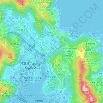
Name: 佛頭洲 topographic map, elevation, terrain.
Location: 佛頭洲, 將軍澳, 西貢區, 新界, 香港, 中国 (22.29410 114.24861 22.33410 114.28861)
Average elevation: 203 ft
Minimum elevation: -7 ft
Maximum elevation: 1,017 ft
Other topographic maps
Click on a map to view its topography, its elevation and its terrain.